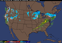
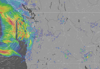
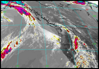
Current Dopler Radar
Loop of Rain/Snow
 |
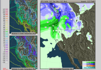
12 Hour Forecast
Pacific Northwest
 |
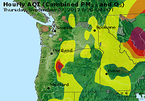
Northwest
Air Quality
 |
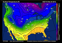
USA Current
Temperatures
 |
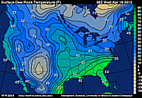
USA Current
Dew Points
 |
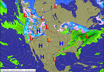
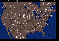
USA Current
Atmospheric Pressure
 |
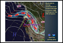
North American
Jet Stream
 |
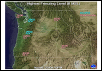
Northwestern USA
Freezing Levels
 |
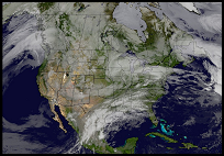
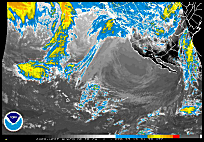
USA Composite
Satellite Loop
 |
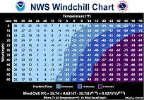
Wind Chill Chart
How Cold it feels
 |
Wind, Rain and Temp
NEW
 |
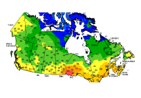
Canadian
Current Temps
 |
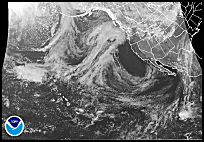
Infrared Satellite Loop
See the air temperature
and where it is moving
 |
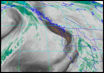
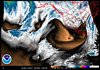
Water Vapor Satellite Loop
Watch the movement
and wetness of the air
 |
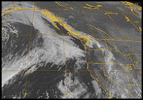
Visible Satellite Loop
See the actual cloud
movements in daytime
 |
NE Pacific Satellite Loop
See the air temperature
and where it is moving
 |
NE Pacific Water Vapor Loop
Watch the movement
and wetness of the air
 |
NE Pacific Satellite Loop
See the actual cloud
movements in daytime
 |
4 Day Forecast
for Pacific Northwest
 |
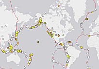
Tracking
Earthquakes NEW
 |
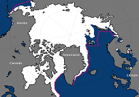
Current Northern Hemisphere
Ice and Snow
 |
|
|